Beginning high in the Uinta Mountains, the Duchesne River makes its way through northeastern Utah to the Green River. Along the way, it is joined by other major water courses including the Strawberry River, Currant Creek, the West Fork of the Duchesne River, and Rock Creek. These hydrologic systems all have another commonality—they all traverse the Strawberry Aqueduct and Collection System, a major part of the Central Utah Project's (CUP) Bonneville Unit.
Implementation of cloud seeding throughout the state is provided predominantly by the private firm of North American Weather Consultants, who has all appropriate licenses and permits. The technology used to implement cloud seeding includes ground-based, manually-operated, silver-iodide, cloud-seeding-generator units (see photo) stationed throughout valley and foothill locations. The cloud-seeding-generator units emit particles derived from a solution of silver iodide.
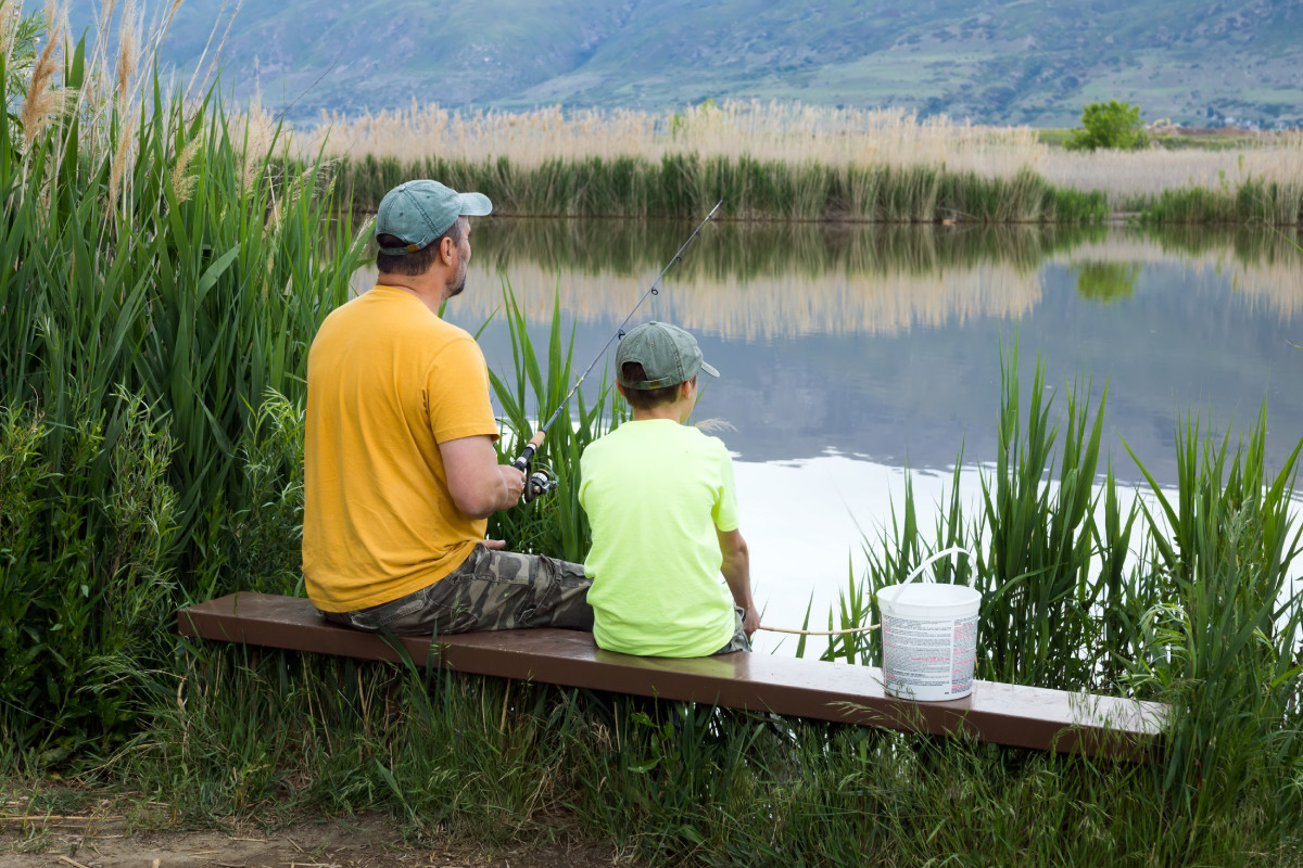
Dams and diversion facilities collect and store water for multiple purposes. Much of the water collected is used for culinary (municipal), industrial, and irrigation purposes, but recreation and fishery habitat also benefit from CUP operations. For example, most of the streams and flat waters associated with major CUP facilities are recognized as blue ribbon fisheries by Utah's Division of Wildlife Resources1.
As part of CUP operations performed by Central Utah Water Conservancy District (CUWCD) personnel, streams below major dams are required, by written agreement, to release minimum streamflow regimens to maintain sport fishery habitat. As released waters progress towards the Green River, flows for native fishes, including sensitive, threatened, and endangered species, are also augmented, again demonstrating the balanced nature and purpose of the Central Utah Project.